+353(0) 877660437 /+353(0)45 254221
 info@landmarkes
Topographic surveying involves the production of scaled maps and plans which are produced to accurately represent details of both the natural and built environments.
Our topographical surveys provide all relevant data needed to meet the client’s requirements such as the development of a green field site, redevelopment of an existing site/ incomplete development, boundary surveys, landscaping and urban projects.
The level of detail provided is only restricted by the amount the client wishes to incorporate, but a typical project might include the measurement and plotting of all natural and built features, contour details, boundary details, utility chambers, storm & foul sewer and manhole locations with cover/invert levels.
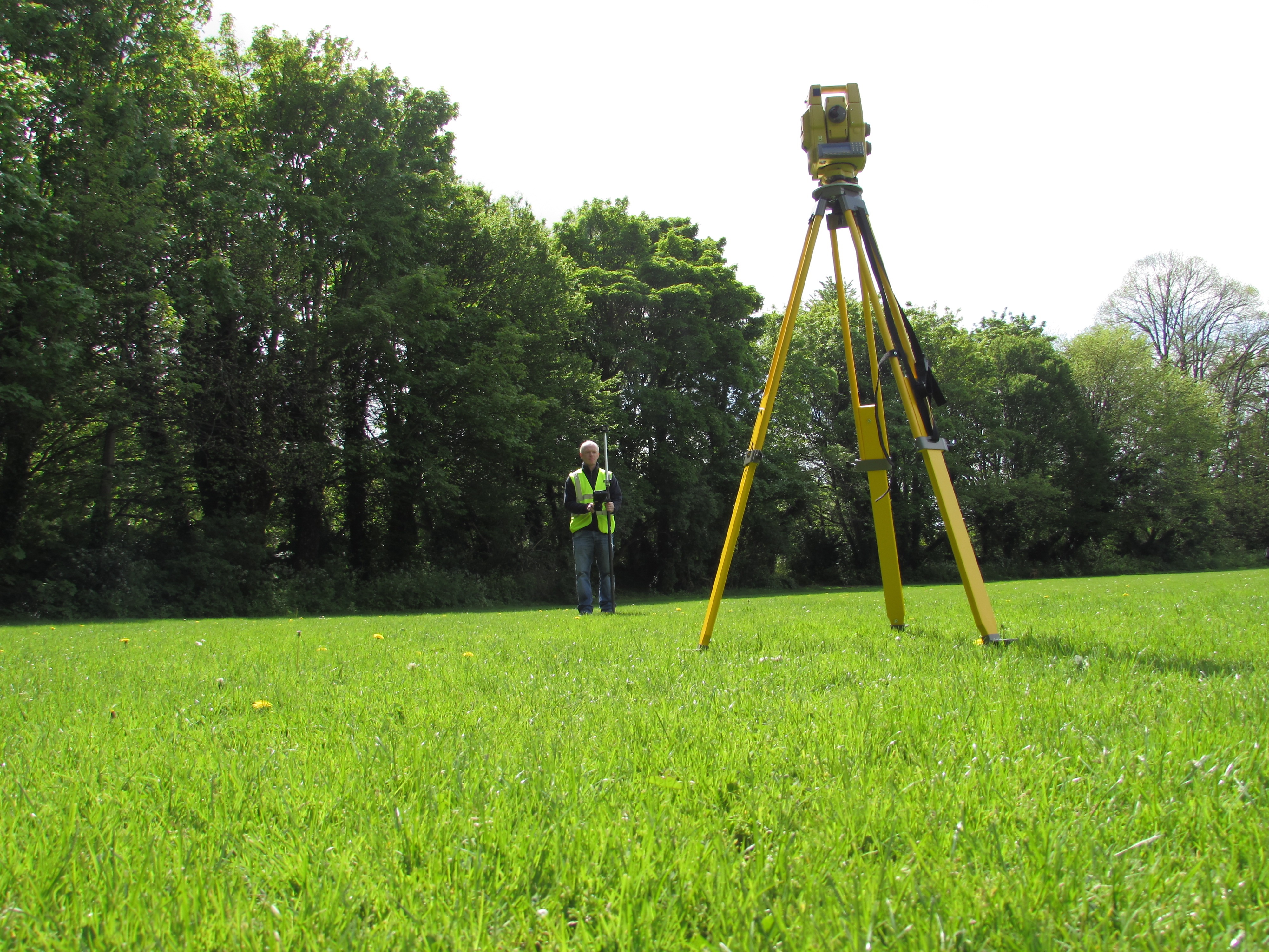
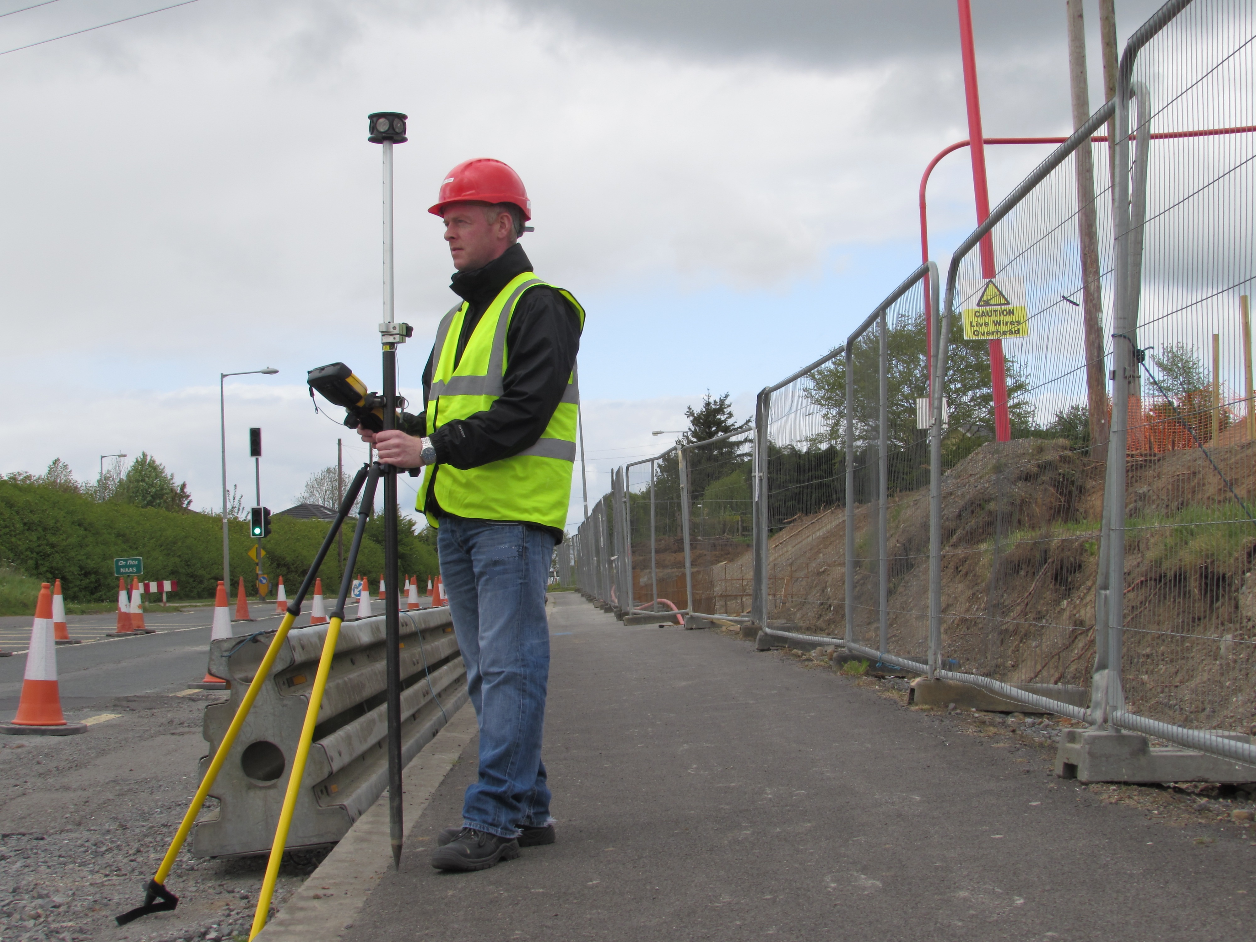
We provide topographical surveys using the latest technology available namely the integrated Trimble GPS (with real time RTK corrections) and robotic reflector less total stations. All our surveys can be produced to a variety of scales and are produced in the ITM National grid system. Surveys can be output into digital format or other formats to suit your needs.